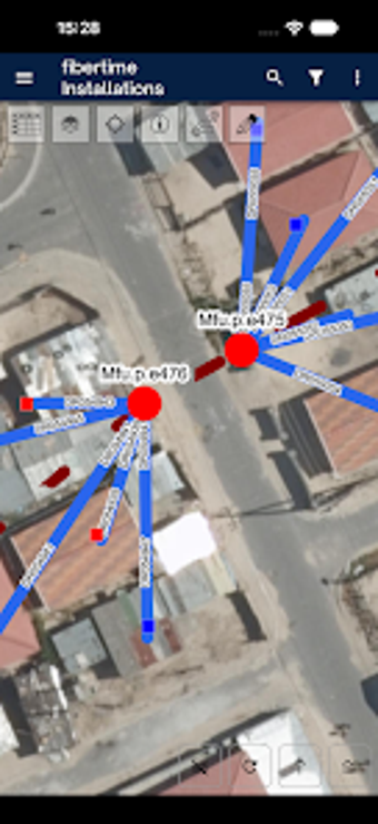
Android GIS app for township fiber deployment and asset mapping
Maps fiber assets, records home locations, and synchronizes GIS layers during field surveys to support rapid deployments in dense communities. Fibertime, a South African ISP, supplies the app as a field utility for technicians and planners to collect spatial data and tag infrastructure. Key capabilities include real-time asset tracking, spatial editing, and 1map GIS integration for data sync. The tool fits field technicians and authorised sales agents working on township rollouts.
Built for on-the-ground township rollouts
Fibertime Map targets mobile field work by letting teams record residential locations and network assets during installations. The app’s design is tied to a semi-mobile deployment strategy aimed at high-density township areas, and it supports recording precise home coordinates so technicians can place connections and nodes where the network planner expects them.
How it reports and maintains location accuracy
The app requires location permissions to tag infrastructure, and it offers real-time asset tracking for fiber cables and nodes. That connection to device GPS lets teams capture live coordinates and update asset status from the field. Spatial editing and layer management let planners adjust recorded features after capture, which keeps mapped infrastructure aligned with on-site changes.
Device compatibility, connection model, and data sync
The application runs on Android and is optimised for mobile field use, so teams use standard handsets for mapping tasks. It integrates with the 1map GIS platform for data synchronization, enabling planners to merge field-collected layers with central GIS datasets. Access control requires authorised agent credentials to reach internal network data.
Suitable for specialist field teams in township network rollouts
The app suits technicians and planners who need a mobile GIS tied to an ISP’s rollout workflow; it is purpose-built for authorised field use in dense township environments. Users are responsible for ensuring their use complies with platform rules and local regulations, and teams should confirm agent credentials and location permission settings before starting mapping sessions.